RPIS open source information system for spatial planning procedures enables planning-related communication between citizens and local governments using a web platform.
The platform allows citizens to initiate plans, view the plans of their local government and submit queries. The planning procedure is integrated in the solution for officials.
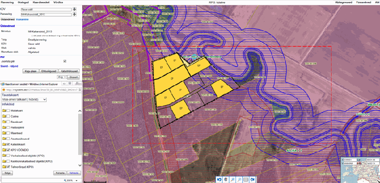
The RPIS service has a separate module for managing spatial information pertaining to spatial planning on the plans map. Starting from specification of the planning area and the related cadastral units when initiating the planning process and ending with transfer of the spatial objects of the plan from the completed plan project to the plans map of the local government.